The VandalTrak Mobile App
Record & Report
Record and report incidents directly onto VandalTrak’s database management system.
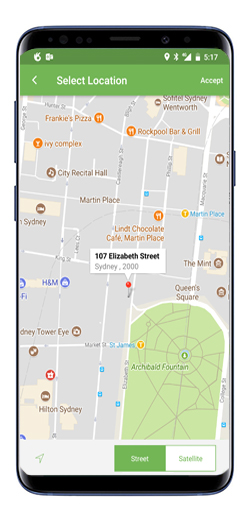
Uses GPS Data
Uses GPS data to plot the location of your report, even if you use a previously taken photo
Offline Use
Offline use for areas of limited signal strength. Upload to our server when you are back on the grid
Photos on the Fly
Enables you take photos on the fly or use previously saved photos on your device
Identifies Areas
Identifies local government areas anywhere in Australia, New Zealand & USA
Instant Upload
Keeps you moving with instant upload to the VandalTrak database system.
